Europe
Spain: Thousands call for release of Catalan leaders after three months in prison
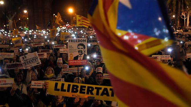
Thousands demanded the freedom of imprisoned pro-independence Catalan leaders in front of the High Court of Justice of Catalonia, in Barcelona, on Tuesday.